
A map of Greece, six categories and three ways to play. No instructions needed: you open the app and start tapping.
Three ways to play
-
Find it on the map
A name appears, say “Kozani”. The child looks for it and taps it. The colour shows at once whether it was right, and on which try.
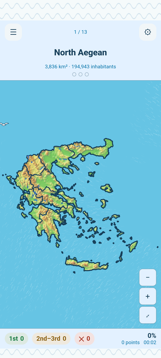
The name above, the map below; the colour and the attempt pips show how the round is going. -
The reverse quiz
The other way round: a place lights up on the map and the child names it, choosing between a few answers.
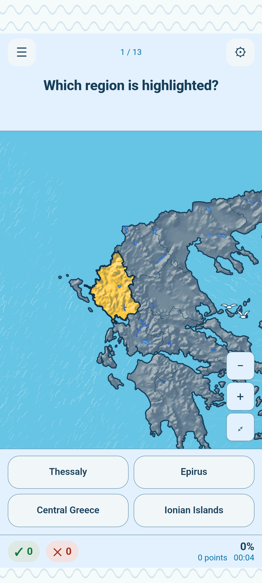
A place lights up and the child picks its name. -
Study mode
No score and no clock. Tap anywhere on the map and the name appears. It is the quiet way to learn something before playing it.
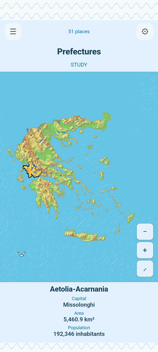
Tap wherever you like and the name appears.
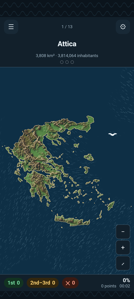


Six categories
-
Regions free
All 13 of them, with today’s borders.
-
Prefectures easy level free
The 51 old prefectures, as they were taught for decades.
-
Cities easy level free
75 cities, from the big ones down to smaller towns worth knowing.
-
Mountains easy level free
41 mountains all over the country, each with its photograph.
-
Islands easy level free
141 islands of the Aegean and the Ionian, from Crete to the smaller ones, in five levels.
-
Rivers easy level free
36 rivers: their courses, as they run down to the sea.
Levels
Every category starts with the best-known places and works towards the rarest. Islands have five levels: 13, 28, 56, 90 and 125 inhabited islands. On the last one, Expert, 16 uninhabited islands join in if you ask for them.
During a round
While you play, the app also shows facts about each place: area, population, length. A double tap zooms the map, up to twenty times. Scores are shown as percentages, and the statistics keep your best time for a perfect round.
The map
The map shows the real terrain, the lakes and the real depth of the sea. The mountains stand where they stand, and so do the basins and the shallows of the Aegean. Every mountain carries its photograph, so the name gets a face.
The map sources and their licences: data and credits.
Greek and English
The whole app changes language with one tap. The names are spoken aloud, in Greek and in English, so a child who has never read “Πήλιο” or “Pelion” still hears it correctly.
One purchase opens every level in every category. The easy level and Study mode are always free, and so are all the Regions. More for parents and teachers.